2026 · Web experiment · Language & maps
Maptom
How does a Pokémon's name travel across the world?
An interactive world map that colors places by Pokémon names, connecting language, pronunciation and geography through a familiar character.
ポケモンの名前が世界の言語でどう変わるかを、色分けした地図で眺めるWeb実験。名前を検索し、地球儀や平面地図を行き来しながら、ことばの違いやつながりを探す。
- Year
- 2026
- Format
- Interactive web experiment
- Interaction
- Search · Globe / flat map Pronunciation playback
- Tools & data
- MapLibre GL JS · Wikidata Natural Earth · Web Speech
One character, many names
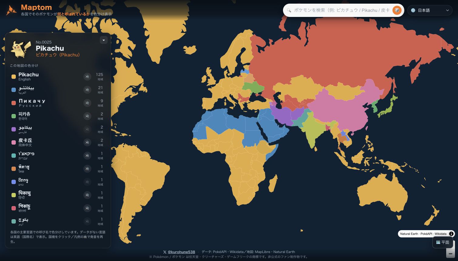
A familiar character offers a small, playful way to notice differences between languages. Maptom places those differences on a map: places using the same localized name share a color, making clusters and contrasts visible.
The map is an invitation to compare words and listen to them, moving between an individual name and its wider geographical pattern.
よく知っているキャラクターを入り口に、言語による名前の違いを見つける実験です。同じ名前を使う地域を同じ色で示すことで、ことばのまとまりや違いが地図上に現れます。
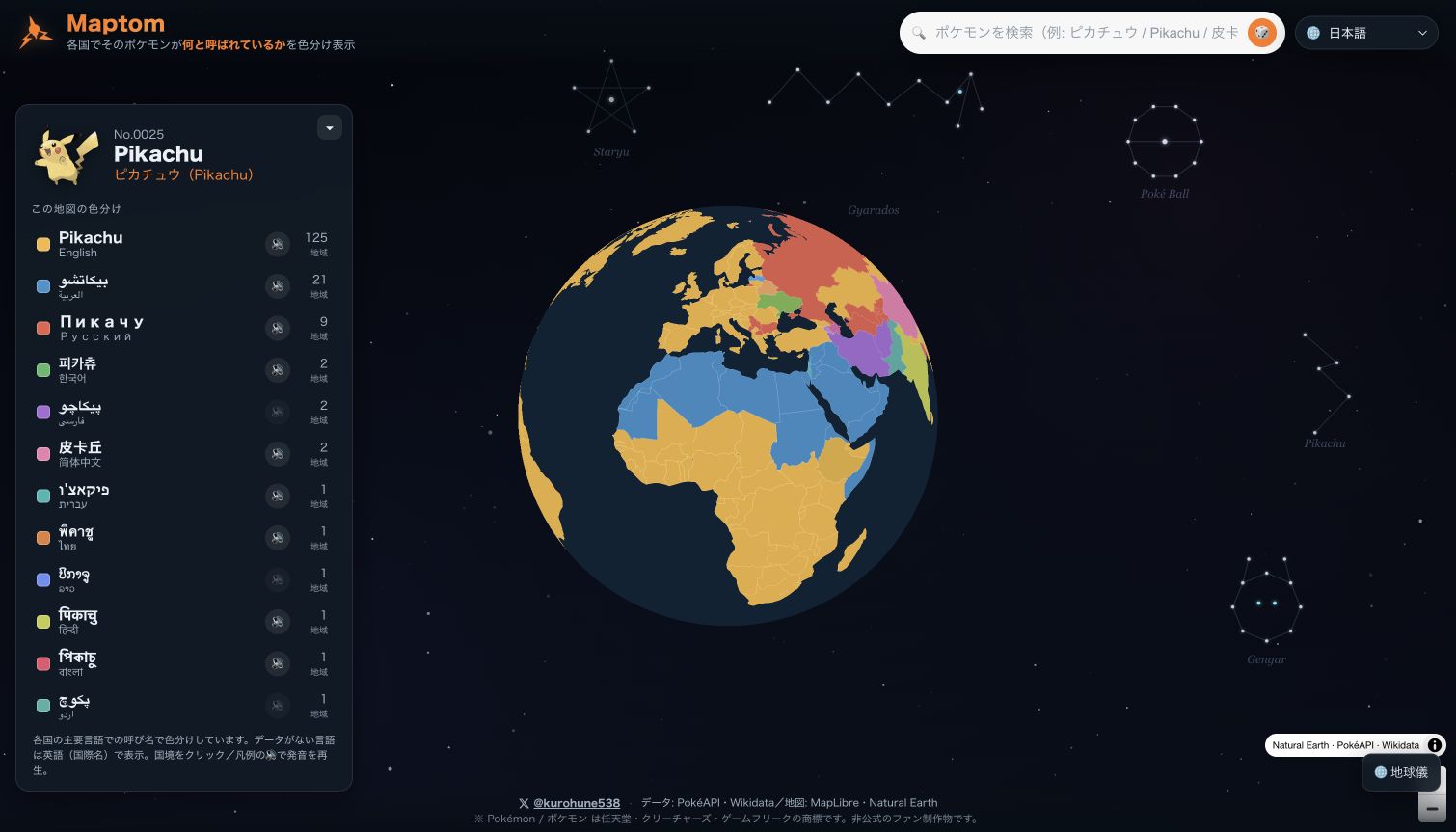
一つの名前を調べ、発音を聞き、地球儀を回して別の地域と比べる。身近な固有名詞から、言語と地理の関係へと視点を広げます。
Search, rotate, listen
Search multilingual Pokémon names, switch between a globe and a flat map, and play available pronunciations through the browser. Wikidata labels provide the multilingual names; MapLibre renders the geographical view.
多言語の名前で検索し、地球儀と平面地図を切り替え、ブラウザーによる発音再生を試せます。多言語の名称にはWikidataのラベルを使い、地図の表示にはMapLibreを用いています。
Reading the map
The country-to-language mapping is a simplified view. A single color cannot represent every language used in a country, and some labels rely on fallbacks. The experiment makes naming patterns explorable while keeping that simplification in view.
国と使用言語の対応は簡略化しており、一つの国にあるすべての言語を一色で表せるわけではありません。名称には代替のラベルを用いる場合もあります。その前提を踏まえながら、名前の分布を探索するための地図です。
Interface